COLD FRONT AND DAMAGING WIND OVERNIGHT BRING UNSETTLED CONDITIONS
01/11/2022 08:16 AM
A cold front entered the west of the State overnight bringing showers and thunderstorms to inland and metropolitan NSW. The weather is predicted to ease by mid-morning today (Tuesday, 1 November).
From Monday night, 400 properties in the Cootamundra area were evacuated due to heavy rainfall along the Muttama and Jindalee Creek. Four Emergency Warnings (Evacuate Now) were issued for Cowra, Willow Bend, Adelong and Boorowa Dam.
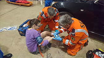
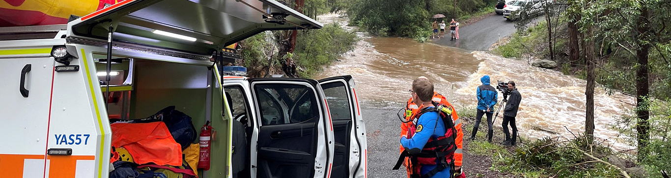
In the last 24hours, NSW SES responded to 48 flood rescues, with 759 requests for assistance in total.
NSW SES currently has 84 warnings across the State.
Emergency Warning: 11
Watch and Act: 47
Advice: 26
NSW SES volunteers responded to 42 storm-related requests for assistance across Sydney. These ranged from fallen trees across roads, damaged roofs, yards and tiling on properties.
In Western catchments, flooding is likely to continue for several months.
NSW SES Warning products have been issued for multiple areas including parts of Moree, Cootamundra, Gunnedah, Condobolin, Warren, Hay, Bourke and Moama.
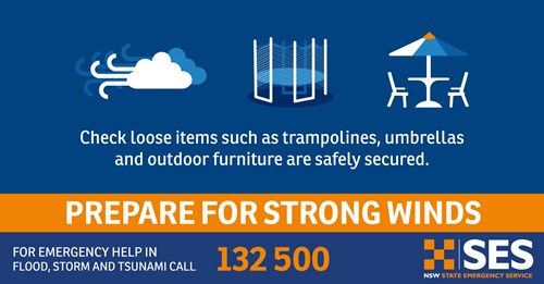
Fallen trees and powerlines, wet road conditions and possible road closures are some of the consequences from this weather.
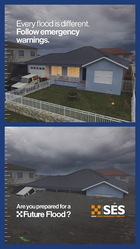
Regular storms and flooding will continue throughout November until at least the end of the year, so we ask communities, commuters and travellers to plan ahead, understand the risk of flooding in your local area, and to never drive through floodwater.
For emergency help in floods and storms, call the NSW SES on 132 500. In life threatening situations, call Triple Zero (000) immediately.
Media enquiries: NSW SES media 1800 067 234 or media@ses.nsw.gov.au