It’s Early Days - Stay Aware, Not Alarmed! NSW SES advises Northern Rivers and Mid North Coast
25/03/2019 02:40 PM
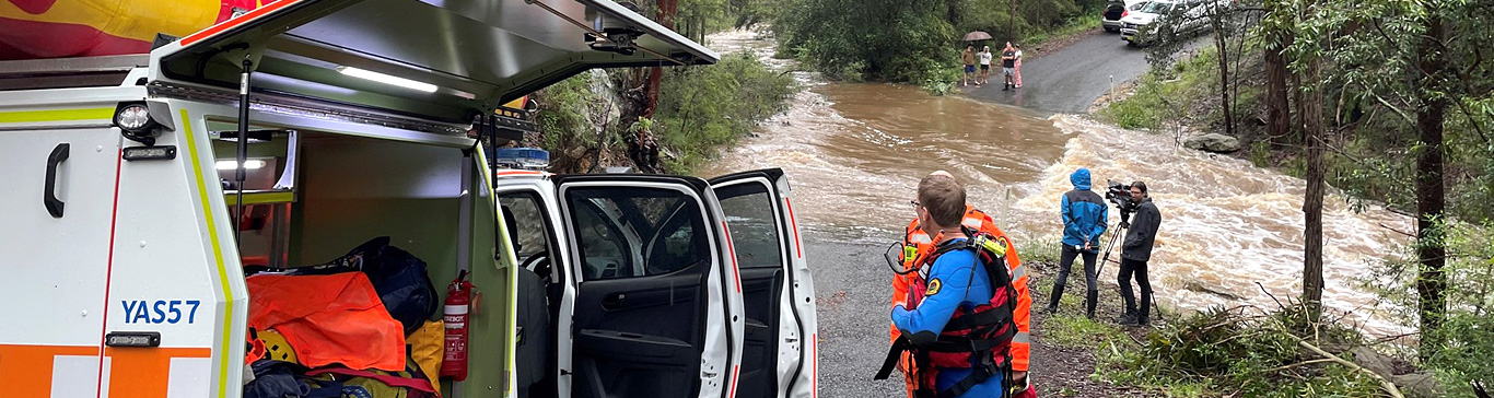
This system is expected to start influencing the Northern Rivers from Wednesday with increasing showers and storms forecast north of about Evans Head on Wednesday. Some of these rain periods are expected to be heavy and frequent.
NSW SES Northern Rivers Deputy Zone Commander, Mark Somers advised, “The intensity and path that Ex Tropical Cyclone Trevor takes over the next few days will govern how much rain falls over northern NSW. The Bureau of Meteorology will forecast rainfall amounts over the coming days as they monitor the behaviour of the system as it nears NSW.”
Mark advised, “It’s early days at this stage but now is a good time to prepare.” He added. “There are a couple of important things you can do now to get ready for a severe weather event and these include checking your home and/or business emergency plan is up to date and to make sure your emergency kit is stocked and ready for use.”
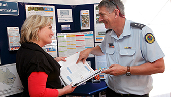
NSW SES Community Capability Officer, Janet Pettit added, “A part of your emergency plan should be to putting together an emergency kit. This kit should include items that you may need if you lose power or need to evacuate your home in a hurry. It should include:
- Portable radio and torch with spare batteries
- First Aid Kit
- Candles and waterproof matches
- Important papers and a copy of your emergency plan
- Waterproof document holder for these documents and valuables"
For more flood and storm safety information and tools to help you put together a home or business emergency plan go to Home Emergency Plan
Media enquiries: Janet Pettit - 02 6625 7714