Rain set to hit bushfire affected areas
15/01/2020 02:23 PM
New South Wales looks like it’s finally going to receive a well deserved drenching, and it can’t come soon enough. The Bureau of Meteorology is predicting that from this Thursday communities across New South Wales could expect to see widespread thunderstorm activity across much of the State.
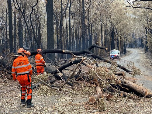
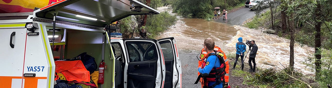
The NSW SES is urging residents in fire affected areas to take care as the risk of flash flooding, falling trees and landslips could increase as wet weather impacts the fire grounds.
NSW SES Assistant Commissioner, Paul Bailey is urging residents to prepare for the upcoming wet weather.
“While the rain is welcomed, heavy rainfall and storms in fire affected areas can lead to dangerous conditions such as a higher risk of flash flooding, falling trees and landslips,” said Mr Bailey.
“In areas impacted by fires where vegetation has been destroyed, water from heavy rainfall can flow into riverbeds and we could see run off in areas we wouldn’t normally, resulting in flash flooding.
“The NSW SES is also asking residents in fire affected areas to watch for possible landslips as the ground and roads can be damaged, therefore creating a higher risk of a potential slip,” continued Mr Bailey.
The NSW SES is advising people to prepare their homes and businesses now.
“People can help prevent storm damage around their properties by trimming back overhanging branches, cleaning gutters and downpipes and securing or putting away loose items around the yard or balcony. It’s also important to avoid parking your cars under trees and powerlines,” added Mr Bailey.
NSW SES Media: (02) 4225 7500.