Get Ready NSW for Potential Heavy Rainfall
14/03/2019 11:13 AM

Weather Outlook Today
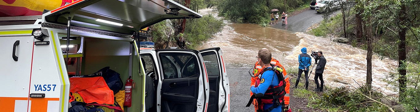
Showers and storms will become more frequent through the day along central parts of the NSW coast. Very intense rainfall rates are likely from some of these showers and storms and this rain will make roads and watercourses dangerous.
What to expect during Friday and Saturday:
The focus for the heaviest falls is expected to be further north of Newcastle, towards the Northern Rivers area. This area will see showers and thunderstorms become more frequent with some producing very heavy rain.
North-eastern parts of the inland are also expected to see thunderstorm activity, and these storms have the potential for large hail and damaging wind as well as heavy rain. Heavy enough to make roads and water courses dangerous, and potential for flash flooding and damage property.
For more information regarding the weather and warnings, visit the Bureau of Meteorology
What you can do to prepare:
- Move your car undercover and away from trees.
- Secure or put away loose items around your house, yard and balcony.
- Keep at least 8 metres away from fallen powerlines or objects that may be energised, such as fences.
- Stay indoors away from windows, and keep children and pets indoors as well.
- Do not enter floodwater.
- Prepare your home
Pets are important:
- Consider pet safety during storms
- What you will do with pets if you are required to evacuate or leave your property including moving pets safely
- Here are some tips for looking after your pets before a storm
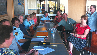
An update from Laura Wythes - Metro Zone Commander NSW SES:
For emergency help in flood and storm emergencies, please phone NSW SES on 132 500.
Learn more about When To Call NSW SES.
For up to date information follow us on Facebook and Twitter