Weekend brings cold front
13/04/2018 09:50 AM
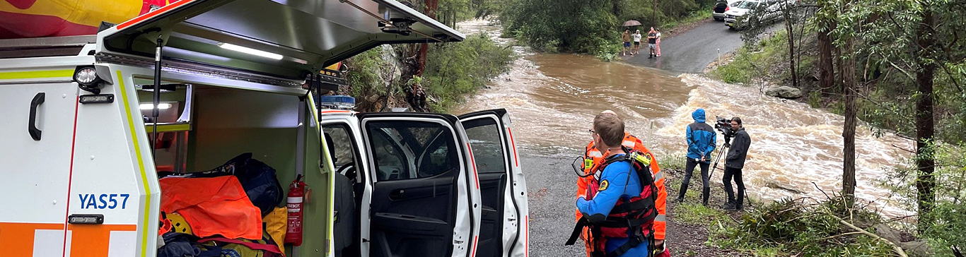
People living or traveling south of the state may experience a strong cold front over the weekend with windy conditions. People should prepare by securing any loose items around the yard or balcony that can blow away in strong winds.
Temperatures on Saturday through to Sunday will drop to below average in the southern and central inland. This will feel very chilly in comparison to the warm weeks we have had recently.
Thunderstorm activity may occur early Saturday morning ahead of the front in the Southern Ranges, they will move quite quickly so heavy rainfall is not likely.
This front may bring some snow to the Alps late Saturday or during Sunday. The last time Perisher and Thredbo saw significant snow was in late Winter/early spring of 2017.
Potential warnings over the weekend may include:
- Severe weather warning for wind in the southeast of the state
- Sheep graziers
Rural properties may need to look at the impacts on stock and the provision of appropriate shelter during these chilly conditions to prevent losses to livestock.
Over the weekend be sure to check the Bureau’s website for current NSW warnings.
Learn more about how you can prepare your property before storms.
Not sure when to call NSW SES?