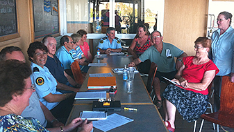
Big Wet Wednesday
28/11/2018 06:00 AM
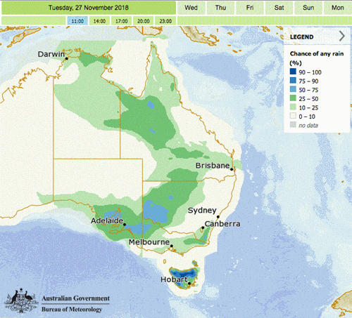
The Bureau of Meteorology (BoM) has advised intense rainfall and vigorous winds are expected to impact parts of the Illawarra and Greater Sydney area through the day before the low quickly moves east further away from the New South Wales coast.
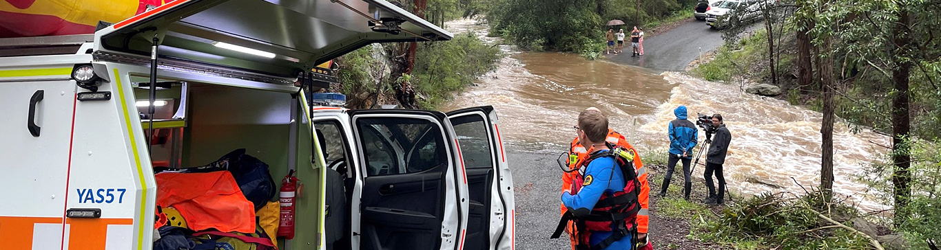
Overnight, NSW SES volunteers attended just over 115 jobs for leaking roofs and storm damage. Majority of these jobs were requested in Sydney metro and the Illawarra.
A Severe Weather Warning is current for damaging winds and heavy rainfall, locations which may be affected include Newcastle, Gosford, Sydney, Wollongong, Nowra, Katoomba and the Barrington Tops.
Heavy rain which may lead to FLASH FLOODING is likely for some parts of the Illawarra, Sydney Metropolitan, Central Coast and Blue Mountains during Wednesday. Widespread moderate to heavy rainfall is expected in these areas, but the most intense rainfall is likely to be more localised during Wednesday morning and afternoon.
Rainfall is expected to ease late Wednesday and early Thursday as the low pressure system moves further offshore.
DAMAGING WINDS, averaging 60 to 70 km/h with peak gusts in excess of 90 km/h are likely along the coastal Illawarra and Sydney fringe from late morning, and extending to the Central Coast, Hunter coastal fringe and southern parts of the Mid North Coast's coastal fringe during this evening.
There may be Detailed Severe Thunderstorm Warnings issued across the day so make sure you read all current weather warnings by visiting the Bureau of Meteorology website.
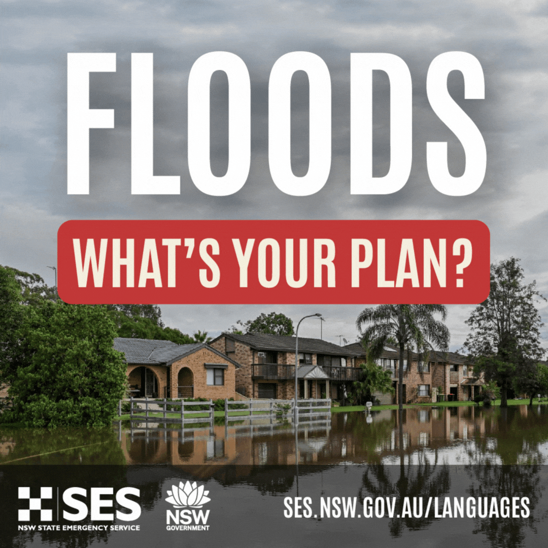
Plan ahead
NSW SES recommends if you are traveling to work or school today to make sure you drive to the conditions and allow for possible road closures and diversions.
Keep clear of creeks and storm drains. Flash flooding is a major risk when traveling on roads around the city, avoid entering floodwater and find alternate routes when traveling.
For live updates and traveler information, visit Live Traffic NSW
Tune in to your local radio station for updates on possible bridge closures at Yarramundi Bridge, Hawkesbury and possible impacts on river ferries such as Sackville and Wisemans’s Ferry.
Stay informed
For more updates follow NSW SES on Facebook and Twitter.
To stay informed for all current NSW weather warnings visit the Bureau of Meteorology website.
If you require emergency help in floods or storms, call 132 500 or 000 if it is a life-threatening emergency.

It's important to consider your pets when planning for storms, read more about planning for Pets and Animals