Wet Conditions for the South Coast
31/07/2017 01:36 PM
It's a gloomy contrast to the sunny weather we’ve experienced over the last few weeks and so today there will be wet conditions around the southeast of the State, with the highest rainfall expected around the South Coast and southern parts of the Illawarra.
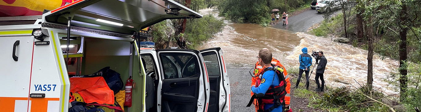
SES volunteers can expect some low-level calls over the next few days from damaging wind and fallen trees.
We urge people to take the time now to put away any loose items around the home or property that could blow around in these strong winds.
Rainfall totals estimated between 25-50 mm are possible, with some slightly higher localised falls on the South Coast. The period for the heaviest rainfall is from late morning to late afternoon.
Thunderstorms are possible across the southern inland and southern ranges this afternoon and evening. Small hail is possible with thunderstorms today.
Also a reminder to get ready and park your car undercover, away from trees and powerlines.
A Warning has been issued by the Bureau of Meteorology to Sheep Graziers for the Illawarra, South Coast, Central Tablelands, Southern Tablelands, South West Slopes and Snowy Mountains locations. Sheep graziers are warned that cold temperatures, rain and westerly winds are expected during Monday.
Check back here for updates during the week.
For Emergency Assistance in Flood, Storm and Tsunami call NSW SES on 132 500.
If life threatening call Triple Zero (000).
Want to learn more about protecting your property? Read more about Storms